Augusta, Georgia is located on the Savannah River at what is called the “Fall Line”. Where the Piedmont province meets the Coastal Plain province in Georgia (and most of the Southeastern U. S.), there is an abrupt change in topography and rapids (falls) occur in streams which cross this boundary. These rapids made boats unable to pass upstream past the rapids, and cargo usually had to be portaged around the rapids.
To ameliorate this problem, Augusta built a canal to bypass the rapids. To accomplish this, a dam was constructed at the upstream end of the rapids, and a set of locks allowed boats to safely enter or leave the canal.
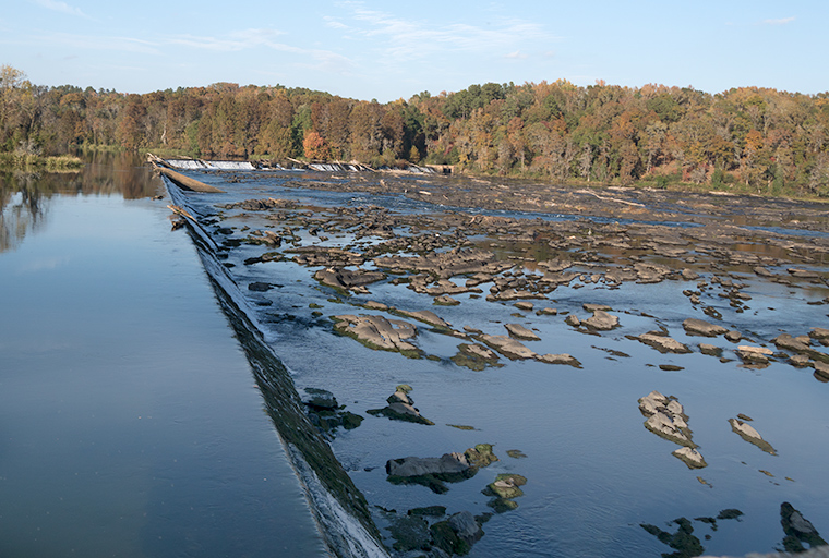
This photograph shows the dam on the Savannah River at the head of the rapids.
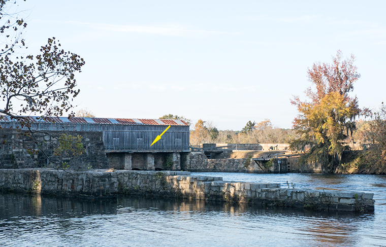
This photograph shows the structure built to manage the water flow through the locks. At the arrow there is a metal fence along a walkway along the downstream side of the lock structure.
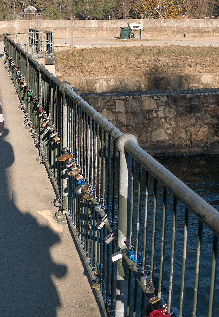
At some point it occurred to someone to attach a lock (padlock) to the fence along the face of the lock structure. This idea caught on in a big way, as you can see from this photograph. Now virtually every structure along around the locks is covered with locks.
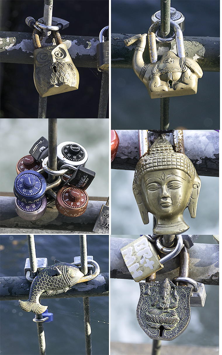
A great variety of locks are present among the hundreds (perhaps thousands) of locks present. This photograph shows only a few of the many types present.
So, if you get a chance, take a trip to the upstream end of the Augusta Canal and have a look at all the locks on the locks.


